
Arroja topographic map
Interactive map
Click on the map to display elevation.
About this map
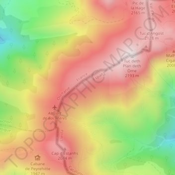
Name: Arroja topographic map, elevation, terrain.
Location: Arroja, Bausen, Vale de Aran, Catalunha, 25549, Espanha (42.83128 0.65583 42.85128 0.67583)
Average elevation: 1,835 m
Minimum elevation: 1,343 m
Maximum elevation: 2,188 m