
Thorpe-le-Soken topographic map
Interactive map
Click on the map to display elevation.
About this map
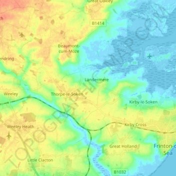
Name: Thorpe-le-Soken topographic map, elevation, terrain.
Location: Thorpe-le-Soken, Tendring, Essex, England, United Kingdom (51.83192 1.12588 51.88884 1.26984)
Average elevation: 15 m
Minimum elevation: -5 m
Maximum elevation: 36 m