
Province Wellesley topographic map
Interactive map
Click on the map to display elevation.
About this map
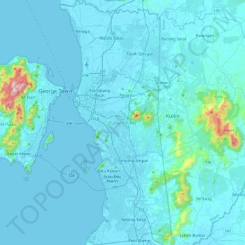
Name: Province Wellesley topographic map, elevation, terrain.
Location: Province Wellesley, Penang, Malaysia (5.12200 100.33837 5.58568 100.55031)
Average elevation: 42 m
Minimum elevation: -3 m
Maximum elevation: 798 m
Other topographic maps
Click on a map to view its topography, its elevation and its terrain.