
Mont topographic map
Interactive map
Click on the map to display elevation.
About this map
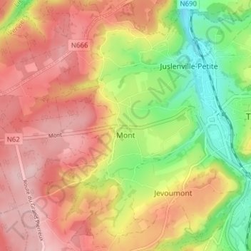
Name: Mont topographic map, elevation, terrain.
Location: Mont, Theux, Verviers, Liège, Wallonie, 4910, Belgique (50.51435 5.77051 50.55435 5.81051)
Average elevation: 257 m
Minimum elevation: 147 m
Maximum elevation: 344 m