
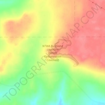
NTWA Bushland covenant (0008) Conservation Covenant topographic map
Interactive map
Click on the map to display elevation.
About this map
Name: NTWA Bushland covenant (0008) Conservation Covenant topographic map, elevation, terrain.
Average elevation: 233 m
Minimum elevation: 189 m
Maximum elevation: 263 m
Other topographic maps
Click on a map to view its topography, its elevation and its terrain.