
Frederiksted topographic map
Interactive map
Click on the map to display elevation.
Frederiksted
Rainforests occur on the western side of St. Croix due to the topography featuring 1,400 foot or 400 metres peaks, which gather moisture from the trade winds. This rainforest climate is unique to the Frederiksted side of St. Croix.
About this map
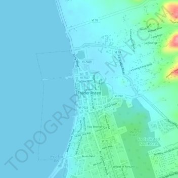
Name: Frederiksted topographic map, elevation, terrain.
Average elevation: 14 m
Minimum elevation: -2 m
Maximum elevation: 110 m