
Christow topographic map
Interactive map
Click on the map to display elevation.
About this map
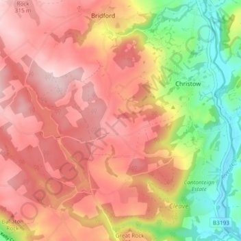
Name: Christow topographic map, elevation, terrain.
Location: Christow, Teignbridge, Devon, England, United Kingdom (50.62198 -3.70782 50.66864 -3.63507)
Average elevation: 200 m
Minimum elevation: 29 m
Maximum elevation: 319 m