
Sivry-Rance topographic map
Interactive map
Click on the map to display elevation.
About this map
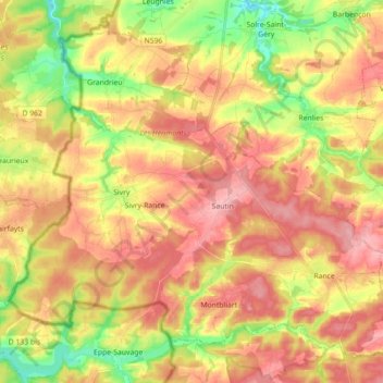
Name: Sivry-Rance topographic map, elevation, terrain.
Location: Sivry-Rance, Henegouwen, Wallonië, 6470, België (50.12045 4.12712 50.21546 4.30429)
Average elevation: 222 m
Minimum elevation: 163 m
Maximum elevation: 272 m