
Le Grand Frouville topographic map
Interactive map
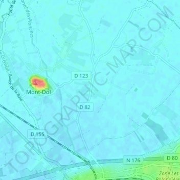
Click on the map to display elevation.
About this map
Name: Le Grand Frouville topographic map, elevation, terrain.
Average elevation: 4 m
Minimum elevation: -2 m
Maximum elevation: 57 m
Other topographic maps
Click on a map to view its topography, its elevation and its terrain.
La Cassière
France > Bretagne > Ille-et-Vilaine > Mont-Dol > La Cassière
La Cassière, Mont-Dol, Saint-Malo, Ille-et-Vilaine, Bretagne, France métropolitaine, 35120, France
Average elevation: 3 m