
Doniphan topographic map
Interactive map
Click on the map to display elevation.
About this map
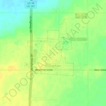
Name: Doniphan topographic map, elevation, terrain.
Location: Doniphan, Hall County, Nebraska, United States (40.76948 -98.37952 40.78106 -98.36407)
Average elevation: 592 m
Minimum elevation: 577 m
Maximum elevation: 602 m
Other topographic maps
Click on a map to view its topography, its elevation and its terrain.
Grand Island
United States > Nebraska > Hall County
Grand Island, Hall County, Nebraska, United States
Average elevation: 567 m