
Tarrío topographic map
Interactive map
Click on the map to display elevation.
About this map
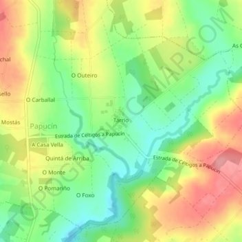
Name: Tarrío topographic map, elevation, terrain.
Location: Tarrío, Papucín, Frades, Ordes, La Coruña, Galicia, España (43.05503 -8.26574 43.06042 -8.26082)
Average elevation: 352 m
Minimum elevation: 305 m
Maximum elevation: 405 m
Other topographic maps
Click on a map to view its topography, its elevation and its terrain.