
Andlermühle topographic map
Interactive map
Click on the map to display elevation.
About this map
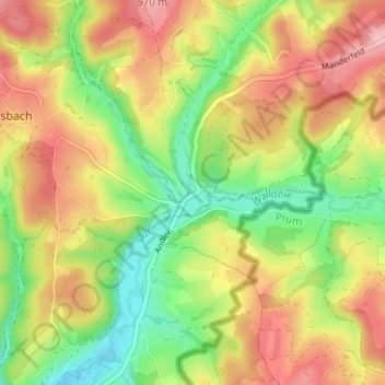
Name: Andlermühle topographic map, elevation, terrain.
Location: Andlermühle, Büllingen, Verviers, Luik, Wallonië, 4782, België (50.29152 6.26806 50.33152 6.30806)
Average elevation: 500 m
Minimum elevation: 424 m
Maximum elevation: 578 m
Other topographic maps
Click on a map to view its topography, its elevation and its terrain.