
Voorstad topographic map
Interactive map
Click on the map to display elevation.
About this map
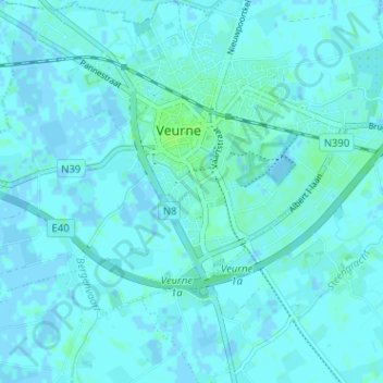
Name: Voorstad topographic map, elevation, terrain.
Location: Voorstad, Veurne, West-Vlaanderen, 8630, België (51.04601 2.64432 51.08601 2.68432)
Average elevation: 2 m
Minimum elevation: -5 m
Maximum elevation: 7 m
Other topographic maps
Click on a map to view its topography, its elevation and its terrain.
Steenkerke
België > West-Vlaanderen > Veurne > Veurne
Steenkerke, Veurne, West-Vlaanderen, België
Average elevation: 2 m