
Bolland topographic map
Interactive map
Click on the map to display elevation.
About this map
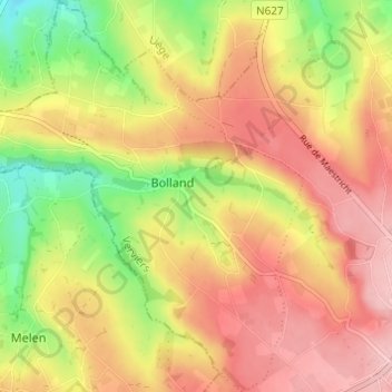
Name: Bolland topographic map, elevation, terrain.
Location: Bolland, Herve, Verviers, Luik, Wallonië, 4650, België (50.64077 5.73002 50.67937 5.77988)
Average elevation: 243 m
Minimum elevation: 163 m
Maximum elevation: 305 m