
Thion topographic map
Interactive map
Click on the map to display elevation.
About this map
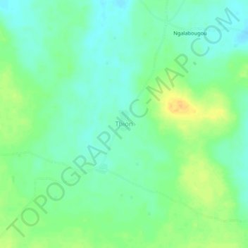
Name: Thion topographic map, elevation, terrain.
Location: Thion, Cercle de Dioïla, Region Koulikoro, Mali (12.39312 -6.98277 12.43312 -6.94277)
Average elevation: 330 m
Minimum elevation: 319 m
Maximum elevation: 348 m