
Barsele topographic map
Interactive map
Click on the map to display elevation.
About this map
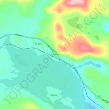
Name: Barsele topographic map, elevation, terrain.
Location: Barsele, Storumans kommun, Västerbottens län, Zweden (65.02625 17.42570 65.06625 17.46570)
Average elevation: 332 m
Minimum elevation: 287 m
Maximum elevation: 460 m