
Tanjung Redeb topographic map
Interactive map
Click on the map to display elevation.
About this map
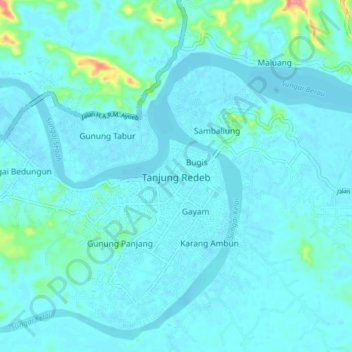
Name: Tanjung Redeb topographic map, elevation, terrain.
Location: Tanjung Redeb, East Kalimantan, 77311, Indonesia (2.11387 117.45701 2.19387 117.53701)
Average elevation: 9 m
Minimum elevation: -1 m
Maximum elevation: 91 m