
Thank you for supporting this site ❤️
Make a donation
Make a donation
Russell topographic map
Click on the map to display elevation.
Thank you for supporting this site ❤️
Make a donation
Make a donation
About this map
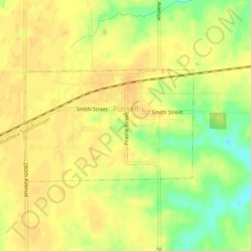
Name: Russell topographic map, elevation, terrain.
Location: Russell, Lucas County, Iowa, United States (40.97414 -93.21262 40.98619 -93.18854)
Average elevation: 311 m
Minimum elevation: 290 m
Maximum elevation: 319 m
Thank you for supporting this site ❤️
Make a donation
Make a donation