
Kühlenfels topographic map
Interactive map
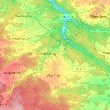
Click on the map to display elevation.
About this map
Name: Kühlenfels topographic map, elevation, terrain.
Average elevation: 463 m
Minimum elevation: 382 m
Maximum elevation: 534 m
Altenhof | Arnleithen | Elbersberg | Geusmanns | Graisch | Haselbrunn | Haßlach | Hohenmirsberg | Kirchenbirkig | Kleinkirchenbirkig | Kleinlesau | Kühlenfels | Leienfels | Mandlau | Mittelmühle | Neu-Geusmanns | Pottenstein | Prüllsbirkig | Pullendorf | Püttlach | Rackersberg | Regenthal | Rupprechtshöhe | Schüttersmühle | Siegmannsbrunn | Soranger | Steifling | Trägweis | Tüchersfeld | Vorderkleebach | Waidach | Wannberg | Weidenhüll bei Elbersberg | Weidenhüll bei Leienfels | Weidenloh | Weidmannsgesees
Other topographic maps
Click on a map to view its topography, its elevation and its terrain.
Püttlach
Deutschland > Bayern > Landkreis Bayreuth > Pottenstein
Püttlach, Pottenstein, Landkreis Bayreuth, Bayern, 91278, Deutschland
Average elevation: 429 m