
Holden topographic map
Interactive map
Click on the map to display elevation.
About this map
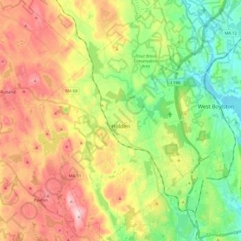
Name: Holden topographic map, elevation, terrain.
Location: Holden, Worcester County, Massachusetts, United States (42.28654 -71.92886 42.43183 -71.80204)
Average elevation: 248 m
Minimum elevation: 114 m
Maximum elevation: 423 m