
Chagba topographic map
Interactive map
Click on the map to display elevation.
About this map
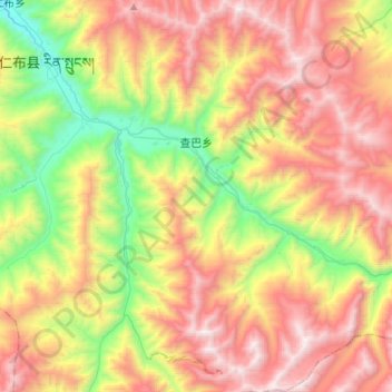
Name: Chagba topographic map, elevation, terrain.
Location: Chagba, Rinbung County, Shigatse Prefecture, Tibet, China (29.03463 89.86904 29.26984 90.07204)
Average elevation: 4,695 m
Minimum elevation: 3,793 m
Maximum elevation: 5,690 m