
Santa Ana topographic map
Interactive map
Click on the map to display elevation.
About this map
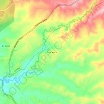
Name: Santa Ana topographic map, elevation, terrain.
Location: Santa Ana, Totoró, Oriente, Cauca, RAP Pacífico, Colombia (2.54590 -76.56759 2.58590 -76.52759)
Average elevation: 1,789 m
Minimum elevation: 1,697 m
Maximum elevation: 1,893 m
Other topographic maps
Click on a map to view its topography, its elevation and its terrain.