
Kebun Bunga topographic map
Interactive map
Click on the map to display elevation.
About this map
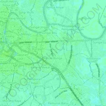
Name: Kebun Bunga topographic map, elevation, terrain.
Location: Kebun Bunga, South Kalimantan, 70237, Indonesia (-3.34443 114.59092 -3.30443 114.63092)
Average elevation: 6 m
Minimum elevation: 1 m
Maximum elevation: 8 m