
Aït Oumalou topographic map
Interactive map
Click on the map to display elevation.
About this map
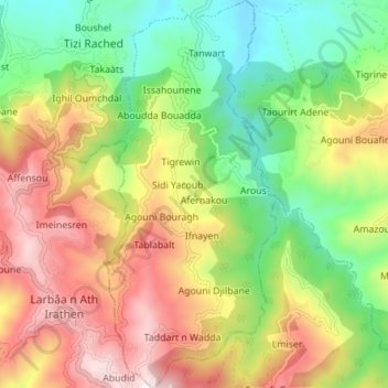
Name: Aït Oumalou topographic map, elevation, terrain.
Location: Aït Oumalou, Daïra Tizi Rached, Tizi Ouzou, Algérie (36.62463 4.21094 36.68573 4.24467)
Average elevation: 534 m
Minimum elevation: 140 m
Maximum elevation: 1,035 m