
Picture Butte topographic map
Interactive map
Click on the map to display elevation.
About this map
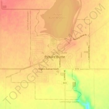
Name: Picture Butte topographic map, elevation, terrain.
Location: Picture Butte, Division No. 2, Alberta, T0K 1V0, Canada (49.86541 -112.80050 49.88763 -112.76842)
Average elevation: 905 m
Minimum elevation: 862 m
Maximum elevation: 919 m