
Dome Glacier topographic map
Interactive map
Click on the map to display elevation.
About this map
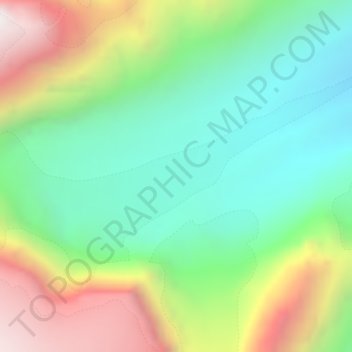
Name: Dome Glacier topographic map, elevation, terrain.
Location: Dome Glacier, Columbia Icefield Route, Alberta, Canada (52.20510 -117.29334 52.20520 -117.29324)
Average elevation: 2,618 m
Minimum elevation: 2,142 m
Maximum elevation: 3,445 m
Other topographic maps
Click on a map to view its topography, its elevation and its terrain.