
La Estrella topographic map
Interactive map
Click on the map to display elevation.
About this map
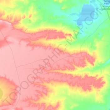
Name: La Estrella topographic map, elevation, terrain.
Location: La Estrella, Deseado, SC, Argentina (-47.40674 -65.98079 -47.17778 -65.84622)
Average elevation: 75 m
Minimum elevation: -2 m
Maximum elevation: 141 m
Other topographic maps
Click on a map to view its topography, its elevation and its terrain.