
Tregaron topographic map
Interactive map
Click on the map to display elevation.
About this map
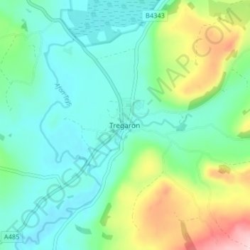
Name: Tregaron topographic map, elevation, terrain.
Location: Tregaron, Ceredigion, Wales, SY25 6HH, United Kingdom (52.18003 -3.97428 52.26003 -3.89428)
Average elevation: 245 m
Minimum elevation: 132 m
Maximum elevation: 497 m