
Unnaryd topographic map
Interactive map
Click on the map to display elevation.
About this map
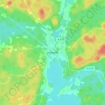
Name: Unnaryd topographic map, elevation, terrain.
Location: Unnaryd, Hylte kommun, Hallands län, 31451, Zweden (56.93453 13.50848 56.97453 13.54848)
Average elevation: 161 m
Minimum elevation: 140 m
Maximum elevation: 198 m