
Château du Breuil topographic map
Interactive map
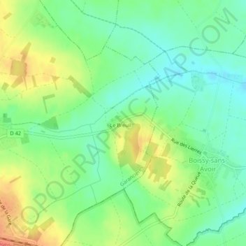
Click on the map to display elevation.
About this map
Name: Château du Breuil topographic map, elevation, terrain.
Average elevation: 101 m
Minimum elevation: 82 m
Maximum elevation: 128 m
Other topographic maps
Click on a map to view its topography, its elevation and its terrain.
Le Breuil
France > Île-de-France > Garancières > Le Breuil
Le Breuil, Garancières, Rambouillet, Yvelines, Île-de-France, France métropolitaine, 78890, France
Average elevation: 105 m