
Timimoun topographic map
Interactive map
Click on the map to display elevation.
About this map
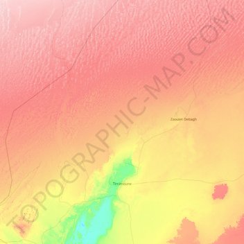
Name: Timimoun topographic map, elevation, terrain.
Location: Timimoun, Daïra de Timimoun, Timimoune, 1001, Algérie (28.98233 0.10222 30.38032 2.02257)
Average elevation: 400 m
Minimum elevation: 170 m
Maximum elevation: 624 m