
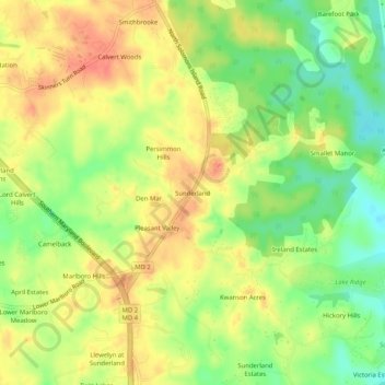
Sunderland topographic map
Interactive map
Click on the map to display elevation.
About this map
Name: Sunderland topographic map, elevation, terrain.
Location: Sunderland, Calvert County, Maryland, 21689, United States (38.65123 -76.61801 38.69123 -76.57801)
Average elevation: 35 m
Minimum elevation: 5 m
Maximum elevation: 60 m