
Ferreirim topographic map
Interactive map
Click on the map to display elevation.
About this map
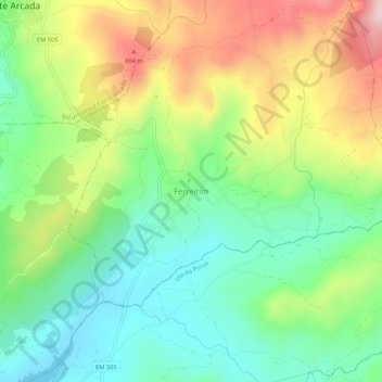
Name: Ferreirim topographic map, elevation, terrain.
Average elevation: 667 m
Minimum elevation: 549 m
Maximum elevation: 857 m
Other topographic maps
Click on a map to view its topography, its elevation and its terrain.
Macieira
Portugal > Viseu > Ferreirim e Macieira
Macieira, Ferreirim e Macieira, Sernancelhe, Viseu, 3640-110, Portugal
Average elevation: 792 m