
Thank you for supporting this site ❤️
Make a donation
Make a donation
Anget topographic map
Click on the map to display elevation.
Thank you for supporting this site ❤️
Make a donation
Make a donation
About this map
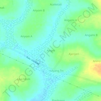
Name: Anget topographic map, elevation, terrain.
Location: Anget, Oyam, Northern Region, Ouganda (2.46237 32.52092 2.50237 32.56092)
Average elevation: 1,060 m
Minimum elevation: 1,049 m
Maximum elevation: 1,080 m
Thank you for supporting this site ❤️
Make a donation
Make a donation