
De Leeuw / Zuidwege / Sint-Elooi topographic map
Interactive map
Click on the map to display elevation.
About this map
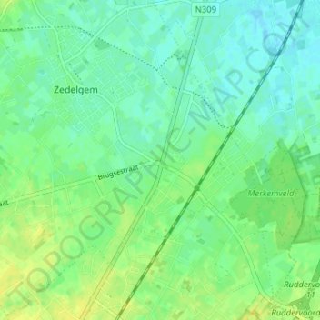
Name: De Leeuw / Zuidwege / Sint-Elooi topographic map, elevation, terrain.
Average elevation: 12 m
Minimum elevation: 4 m
Maximum elevation: 22 m