
San Vicente del Caguán topographic map
Interactive map
Click on the map to display elevation.
About this map
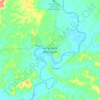
Name: San Vicente del Caguán topographic map, elevation, terrain.
Location: San Vicente del Caguán, Caquetá, 182010, Colombia (2.07312 -74.80973 2.15312 -74.72973)
Average elevation: 276 m
Minimum elevation: 248 m
Maximum elevation: 371 m