
Arare topographic map
Interactive map
Click on the map to display elevation.
About this map
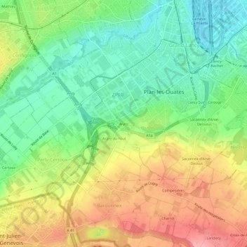
Name: Arare topographic map, elevation, terrain.
Location: Arare, Plan-les-Ouates, Genève, 1228, Suisse (46.14311 6.08847 46.18311 6.12847)
Average elevation: 432 m
Minimum elevation: 382 m
Maximum elevation: 498 m