
Amlapura topographic map
Interactive map
Click on the map to display elevation.
About this map
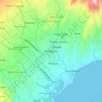
Name: Amlapura topographic map, elevation, terrain.
Location: Amlapura, Bali, 80811, Indonesia (-8.48643 115.57356 -8.40643 115.65356)
Average elevation: 148 m
Minimum elevation: 0 m
Maximum elevation: 617 m