
Guenfouda topographic map
Interactive map
Click on the map to display elevation.
About this map
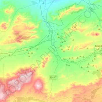
Name: Guenfouda topographic map, elevation, terrain.
Average elevation: 1,021 m
Minimum elevation: 690 m
Maximum elevation: 1,645 m
Other topographic maps
Click on a map to view its topography, its elevation and its terrain.
Lebkhata
Maroc > cercle de Jerada-Banlieue
Lebkhata, caïdat de Gafaït, cercle de Jerada-Banlieue, Province de Jerada, Oriental, Maroc
Average elevation: 986 m