
Uttarkashi topographic map
Interactive map
Click on the map to display elevation.
About this map
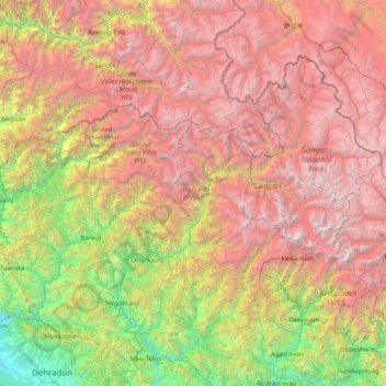
Name: Uttarkashi topographic map, elevation, terrain.
Location: Uttarkashi, Uttarakhand, India (30.47183 77.80955 31.45902 79.41725)
Average elevation: 3,383 m
Minimum elevation: 497 m
Maximum elevation: 7,106 m
Other topographic maps
Click on a map to view its topography, its elevation and its terrain.