
Council Grove topographic map
Interactive map
Click on the map to display elevation.
About this map
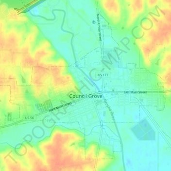
Name: Council Grove topographic map, elevation, terrain.
Location: Council Grove, Morris County, Kansas, United States (38.64841 -96.51493 38.67740 -96.47160)
Average elevation: 389 m
Minimum elevation: 371 m
Maximum elevation: 412 m