
Winongan Kidul topographic map
Interactive map
Click on the map to display elevation.
About this map
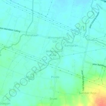
Name: Winongan Kidul topographic map, elevation, terrain.
Location: Winongan Kidul, Pasuruan, East Java, Java, 67181, Indonesia (-7.75235 112.93715 -7.71235 112.97715)
Average elevation: 14 m
Minimum elevation: 3 m
Maximum elevation: 54 m
Other topographic maps
Click on a map to view its topography, its elevation and its terrain.