
Unteriberg topographic map
Interactive map
Click on the map to display elevation.
About this map
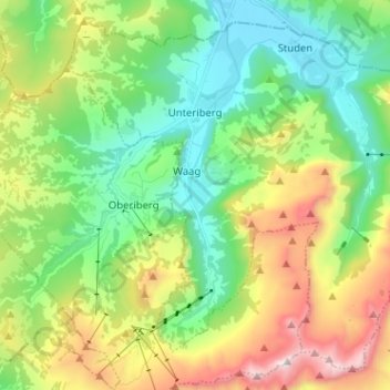
Name: Unteriberg topographic map, elevation, terrain.
Location: Unteriberg, Schwyz, Suisse (47.00242 8.76144 47.07999 8.88890)
Average elevation: 1,346 m
Minimum elevation: 885 m
Maximum elevation: 2,269 m
Other topographic maps
Click on a map to view its topography, its elevation and its terrain.