
Curug Sangereng topographic map
Interactive map
Click on the map to display elevation.
About this map
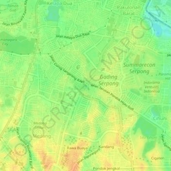
Name: Curug Sangereng topographic map, elevation, terrain.
Location: Curug Sangereng, Tangerang, Banten, 15810, Indonesia (-6.27468 106.60236 -6.23468 106.64236)
Average elevation: 29 m
Minimum elevation: 10 m
Maximum elevation: 44 m