
Elm Creek topographic map
Interactive map
Click on the map to display elevation.
About this map
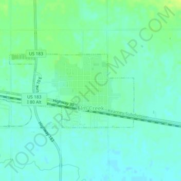
Name: Elm Creek topographic map, elevation, terrain.
Location: Elm Creek, Buffalo County, Nebraska, United States (40.71452 -99.38990 40.72547 -99.36478)
Average elevation: 692 m
Minimum elevation: 686 m
Maximum elevation: 702 m
Other topographic maps
Click on a map to view its topography, its elevation and its terrain.
Shelton
United States > Nebraska > Buffalo County
Shelton, Buffalo County, Nebraska, 68876, United States
Average elevation: 616 m
Gibbon
United States > Nebraska > Buffalo County
Gibbon, Buffalo County, Nebraska, United States
Average elevation: 630 m
Kearney Cotton Mill Historical Marker
United States > Nebraska > Buffalo County > Cottonmill Mobile Home Court
Kearney Cotton Mill Historical Marker, Cottonmill Mobile Home Court, Buffalo County, Nebraska, 68849, United States
Average elevation: 676 m
Ravenna
United States > Nebraska > Buffalo County
Ravenna, Buffalo County, Nebraska, United States
Average elevation: 617 m