
Roscoe topographic map
Interactive map
Click on the map to display elevation.
About this map
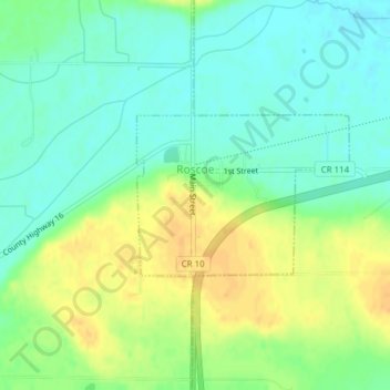
Name: Roscoe topographic map, elevation, terrain.
Location: Roscoe, Stearns County, Minnesota, 56371, United States (45.42645 -94.64550 45.43762 -94.62453)
Average elevation: 359 m
Minimum elevation: 346 m
Maximum elevation: 375 m
Other topographic maps
Click on a map to view its topography, its elevation and its terrain.
Pearl Lake
United States > Minnesota > Stearns County > Maine Prairie Township
Average elevation: 343 m