
Ranst topographic map
Interactive map
Click on the map to display elevation.
About this map
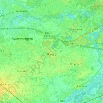
Name: Ranst topographic map, elevation, terrain.
Location: Ranst, Antwerpen, Vlaanderen, België (51.14822 4.53008 51.23610 4.64391)
Average elevation: 9 m
Minimum elevation: 1 m
Maximum elevation: 21 m