
ເມືອງສາລະວັນ topographic map
Interactive map
Click on the map to display elevation.
About this map
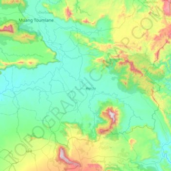
Name: ເມືອງສາລະວັນ topographic map, elevation, terrain.
Location: ເມືອງສາລະວັນ, Provinz Salavan, Laos (15.48271 105.99908 15.97410 106.71545)
Average elevation: 416 m
Minimum elevation: 127 m
Maximum elevation: 1,574 m