
Jonggol topographic map
Interactive map
Click on the map to display elevation.
About this map
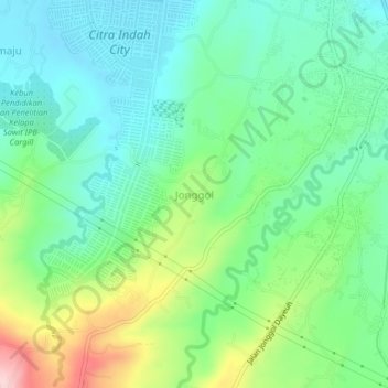
Name: Jonggol topographic map, elevation, terrain.
Location: Jonggol, West Java, Indonesia (-6.49983 107.02541 -6.45983 107.06541)
Average elevation: 131 m
Minimum elevation: 63 m
Maximum elevation: 290 m