
Cipadu topographic map
Interactive map
Click on the map to display elevation.
About this map
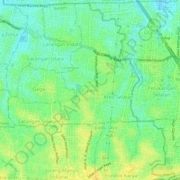
Name: Cipadu topographic map, elevation, terrain.
Location: Cipadu, Kota Tangerang, Banten, 15155, Indonesia (-6.26323 106.71770 -6.22323 106.75770)
Average elevation: 23 m
Minimum elevation: 12 m
Maximum elevation: 35 m